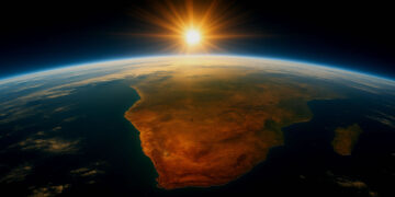


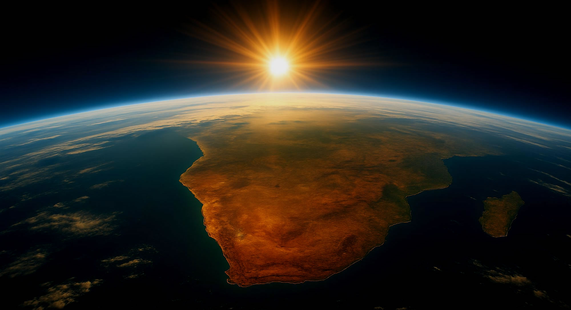
South Africa is rising by up to 2 millimeters per year, and new research suggests that climate change-driven droughts, not just geological forces, are to blame.
The findings, published in the Journal of Geophysical Research: Solid Earth, reveal how severe water loss is reshaping the country’s landscape.
For years, scientists attributed South Africa’s gradual uplift to the Quathlamba hotspot, a suspected mantle plume deep beneath the Earth’s crust. But a team led by geodesist Makan Karegar from the University of Bonn found a surprising alternative explanation: the loss of groundwater and surface water due to extreme droughts.
Using data from Global Navigation Satellite System (GNSS) stations, researchers tracked land height changes between 2012 and 2020, revealing an average rise of 6 millimeters. The uplift was most dramatic during the 2015–2019 drought, when Cape Town nearly reached “Day Zero”—the day taps would run dry.
The team cross-referenced GNSS measurements with NASA and German Aerospace Center’s GRACE satellite mission, which tracks changes in Earth’s water mass. Despite the satellite’s low resolution, the pattern was clear: Areas with severe water loss showed the most uplift. Hydrological models further confirmed that drought-induced water depletion was lifting the land.
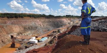
Beyond reshaping our understanding of geology, the study suggests GNSS data could help monitor groundwater depletion, a critical issue in drought-prone regions like South Africa, where overuse of aquifers threatens long-term water security.
“This is another way climate change is altering our planet,” says Karegar. “But it also gives us a potential tool to better manage water resources in a warming world.”


